A routine drone inspection of a bridge or a stretch of rail line can produce thousands of individual images and video clips in under an hour. Multiply that across a state transportation department running dozens of flights a month, and you end up with a data problem most agencies weren’t built to handle — mountains of unlabeled, unsorted footage that’s technically valuable but practically unusable. That gap is what pulled PTFS into the geospatial content management business, and it’s turned into one of the more distinctive parts of the company’s work.
Knowvation GS: Geography Meets Search
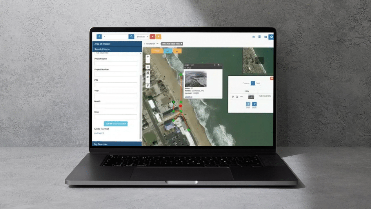
Knowvation GS is PTFS’s geospatial content management system (GeoCMS), built to store, tag, and retrieve imagery, video, and sensor data tied to specific locations. Instead of digging through folders labeled by date or project number, users can pull up a map and search for what happened in a particular area — flood imagery from a specific county, inspection photos along a rail corridor, or surveillance footage from a border sector. The platform is sensor-agnostic too, meaning it can ingest data from satellites, ground cameras, or aerial platforms without requiring a separate system for each.
The Rise of UAS Data
Drones have become a routine tool for infrastructure inspection, agriculture, and emergency response, but they also generate an enormous amount of raw sensor data that’s useless without organization. We built Knowvation to solve that specific problem — it automatically parses geospatial tags from Unmanned Aerial Systems (UAS) and Unmanned Aerial Vehicles (UAV), then sorts the resulting imagery and video into an intelligent, searchable hierarchy. PTFS has also integrated Knowvation with Esri’s mapping capabilities, giving agencies a fully web-based workflow that goes from raw drone footage to orthorectified, mapped imagery with minimal manual stitching.
Industries That Actually Use This
The list of sectors leaning on this technology is broader than people might expect. Highway and transportation departments use it to track pavement conditions and bridge inspections. Homeland security and emergency management teams use it for tracking response efforts and disaster imagery in near real time. Railroads use it to monitor track and right-of-way conditions along thousands of miles of corridor. Parks and recreation departments, along with archaeological and historic preservation offices, use it to document land, wildlife, and cultural sites over time, building a visual record that would be nearly impossible to maintain with folders of loose photographs.
PTFS has long supported events like GEOINT, the annual gathering for the geospatial intelligence community, to demonstrate these tools alongside partners like Esri and Amazon Web Services — a sign of how tightly geospatial content management now overlaps with mainstream cloud and AI infrastructure.
The Practical Payoff
What ties all of this together is a fairly simple idea: location-based data is only useful if you can find it again later. A drone can capture thousands of images in a single flight, and a rail line can generate years of inspection footage, but none of it helps anyone unless you organize it to match how people actually search—by place, not by file name. That’s the gap PTFS builds its geospatial tools to close, and it’s a big part of why agencies dealing with physical infrastructure, land, and emergency response keep coming back.

Leave a Reply